LBS Positioning: Complete Guide to Location-Based Positioning Systems and Applications
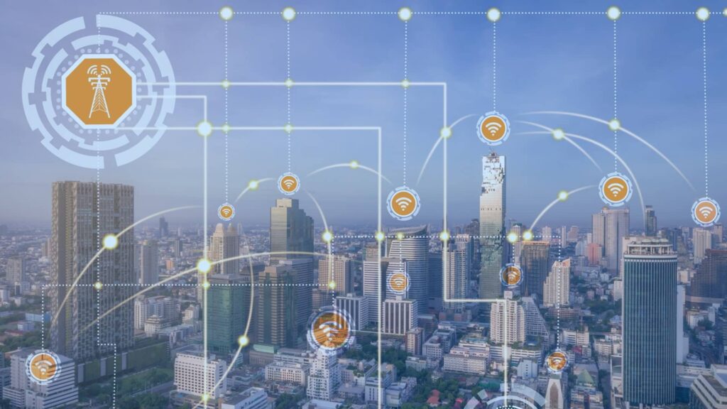
LBS positioning, or Location-Based Services positioning, refers to technologies and methods used to determine the precise location of a device, person, or object in real time. It integrates GPS, Wi-Fi, cellular towers, Bluetooth, and sensors to calculate position, which is then used to deliver location-based services across multiple industries.
From navigation apps like Google Maps to healthcare asset tracking and smart city solutions, LBS positioning has become a cornerstone of modern digital services. It not only guides people and vehicles but also supports emergency response, retail marketing, logistics, and entertainment experiences.
How LBS Positioning Works
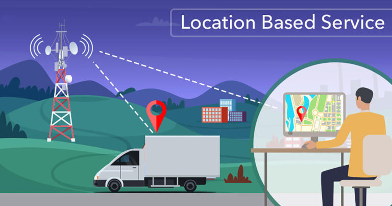
LBS positioning uses a combination of hardware, software, and network data to calculate and verify location. Common methods include:
-
GPS-based positioning: Uses satellite data to determine longitude and latitude with high precision.
-
Cellular positioning: Relies on triangulation from mobile towers when GPS is weak.
-
Wi-Fi positioning: Uses nearby Wi-Fi networks for indoor or urban location accuracy.
-
Bluetooth and beacon positioning: Often used indoors, such as in malls or airports, to guide users in real time.
These methods are processed by cloud-based algorithms and integrated with application interfaces to provide services. Modern LBS also combines AI and machine learning for predictive positioning, improving accuracy and anticipating user needs.
Benefits of LBS Positioning Technology
The adoption of LBS positioning brings significant advantages:
-
Accuracy and Precision: Provides real-time location information crucial for logistics, navigation, and emergency services.
-
User Convenience: Enhances mobile app usability by offering location-specific services such as directions, nearby offers, or delivery tracking.
-
Operational Efficiency: Businesses optimize routing, resource allocation, and asset management with accurate LBS data.
-
Personalization: Allows marketers and service providers to deliver hyperlocal content, making services more engaging.
-
Safety and Security: Plays a critical role in monitoring, emergency alerts, and personal safety applications.
LBS positioning essentially bridges the physical and digital worlds, allowing real-time decision-making and context-aware services.
Real-World Examples of LBS Positioning
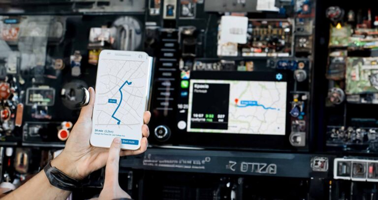
Google Maps and Waze
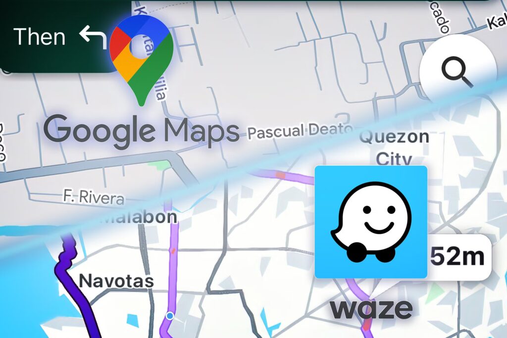
Google Maps and Waze are iconic examples of LBS positioning. These apps rely heavily on GPS, traffic sensors, and crowd-sourced data to provide accurate navigation, real-time traffic updates, and alternative routes.
Their success illustrates how LBS positioning not only enables daily commuting but also helps businesses manage logistics and deliveries.
Uber and Ride-Sharing Platforms

Ride-sharing platforms such as Uber and Lyft depend entirely on LBS positioning. The apps track drivers and passengers, match rides, calculate fares based on distance, and ensure safe pickups and drop-offs.
Without LBS positioning, these services would not exist. Their global adoption highlights the reliability and necessity of precise location systems.
Indoor Navigation in Airports and Shopping Malls
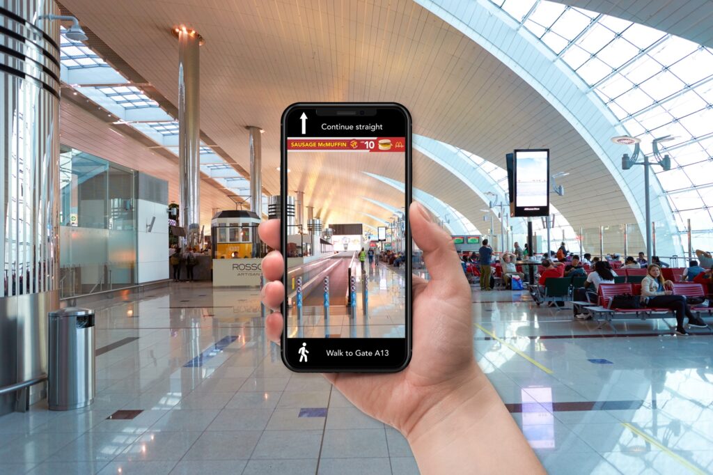
Airports and malls use beacon and Wi-Fi-based LBS positioning to provide indoor navigation. Travelers receive directions to gates, restaurants, or baggage claims, while shoppers can locate stores and offers with ease.
This demonstrates how LBS positioning can extend beyond outdoor navigation, improving convenience in complex indoor spaces.
Healthcare Asset Tracking

Hospitals increasingly deploy LBS positioning to track medical equipment, monitor patient flow, and guide visitors within large facilities.
By preventing the loss of equipment and ensuring timely access to resources, LBS improves patient outcomes and reduces operational inefficiencies.
Smart Cities and IoT
Smart city initiatives rely on LBS positioning for traffic management, waste collection optimization, and public safety monitoring. IoT devices integrated with LBS make urban environments more responsive and sustainable.
This shows how LBS positioning plays a foundational role in shaping the future of connected, data-driven cities.
Practical Advantages of LBS Positioning
One of the key advantages of LBS positioning is its ability to enhance mobility. Whether guiding users through city streets, hospitals, or retail centers, accurate positioning creates seamless experiences.
Another advantage lies in data-driven decision-making. Businesses use LBS positioning data to analyze customer behavior, optimize delivery routes, and predict demand trends. This not only saves costs but also improves service quality.
Furthermore, LBS positioning supports safety and compliance, ensuring industries such as transportation and healthcare meet regulatory standards by maintaining accurate location records.
Use Cases: Problems Solved by LBS Positioning
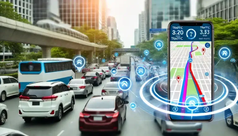
Optimizing Logistics and Transportation
Delivery delays and inefficient routing are major issues. LBS positioning enables real-time route optimization, reducing delays, cutting fuel costs, and enhancing supply chain visibility.
Driving Retail Engagement
Retailers use LBS positioning to deliver personalized offers when customers are near stores. This drives impulse buying, increases customer satisfaction, and strengthens brand loyalty.
Strengthening Public Safety
Police, firefighters, and emergency responders use LBS positioning to locate people quickly, coordinate rescue operations, and provide disaster alerts. This reduces response time and saves lives.
Enhancing Tourism and Hospitality
Travelers benefit from LBS-powered apps that provide guided tours, real-time recommendations, and navigation support. Hotels also use it for concierge services and customer engagement.
Healthcare Monitoring

In healthcare, LBS positioning helps track patients in large hospitals, monitor elderly individuals remotely, and improve emergency care response. This ensures safety and better healthcare delivery.
FAQs
1. What is LBS positioning?
LBS positioning is the process of determining the real-time location of a device, person, or object using technologies such as GPS, Wi-Fi, cellular towers, and Bluetooth.
2. How accurate is LBS positioning?
Accuracy varies depending on the technology used. GPS can provide precision within a few meters outdoors, while Wi-Fi and Bluetooth offer reliable indoor positioning with slightly less accuracy.
3. What are the main applications of LBS positioning?
Key applications include navigation, logistics, retail marketing, healthcare, smart cities, tourism, and emergency response services.